Llega a tu destino pasando por las mejores paradas del camino.

Camina, pedalea o conduce pasando por los parques, lugares de interés y sitios para comer mejor valorados. Gratis y sin registro.

Di adónde vas y elige parques, lugares de interés o comida. Recibes una ruta a pie, en bici o en coche que pasa por los sitios mejor valorados del camino, con el tiempo para tu trayecto y lista para abrir en Google Maps. Gratis y sin registro.

Planea tu viaje

Empieza con un toque o escribe dos lugares.

Buen momento

14:00 · 15°C · seco

o elige tu viaje

¿Qué estilo buscas?
¿Cómo vas a ir?
Mis paradas y filtros
Detour tolerance
Tipos de lugares incluidos
Guardado en este dispositivo para tus próximas rutas.
  1. Salida · Covent Garden
  2. Parada 1 · Somerset House
  3. Parada 2 · St Paul's Cathedral
  4. Parada 3 · The Monument
  5. Llegada · Tower of London

Todas las paradas tienen 4,5★ o más, además de la probabilidad de lluvia y la mejor hora para salir. Prueba esta ruta →

Galway, Irlanda

Cycling route · 2 stops

Galway to Barna by bike: a coastal ride along Galway Bay

Ridden by Alberto before publishing · route facts measured

This ride follows Galway Bay west out of the city, past Salthill and Silverstrand beach to the small harbour at Barna (Bearna), with views across the water much of the way. It's a popular outing for an afternoon on the bike. Read our calmer cycling guide before you go.

At a glance

Tranquillity

* Alberto's rating from doing the route.

Loading the route…

Measured route facts

Distance
9.8 km
Climb
35 m up · 32 m down
Away from traffic
3% of the way
Buggy & wheelchair
Step-free, paved
Benches on the way
38
Public toilets nearby
5
Playgrounds nearby
2
Drinking water
1
Perfil de elevación Descargar GPX
Perfil de elevación Elevation profile: from 4 m to 6 m, highest point 29 m, 35 m of climbing over 9.8 km 20 m0 m 0 m4.9 km9.8 km

Measured by Joyride AI from OpenStreetMap data on (benches within about 30 m of the route; toilets and playgrounds within about 80 m; elevation from Open-Meteo). Map data © OpenStreetMap contributors.

The route, stop by stop

  1. Start 0 m · 4 m elev
    Start: Spanish Arch
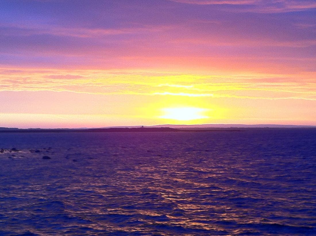
    Sunrise over Clare from Salthill, Galway
    Spanish Arch · Tom Murphy
  2. Stop 1 3.3 km · 9 m elev
    Stop 1: Salthill Promenade
    Follow the seafront out of the city; take care around walkers on busy days.
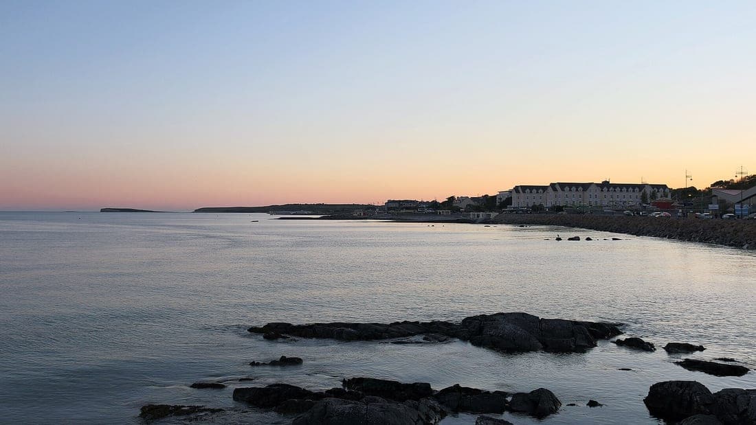
    Salthill and Galway Bay, Galway (506271)
    Salthill Promenade · Robert Linsdell from St. Andrews, Canada
  3. Stop 2 6.5 km · 11 m elev
    Stop 2: Silverstrand beach
    A sheltered sandy beach between Salthill and Barna, good for a break.
    Salthill and Galway Bay, Galway (506272)
    Silverstrand beach · Robert Linsdell from St. Andrews, Canada
  4. Finish 9.8 km · 6 m elev
    Finish: Barna pier
    Bearna Pier
    Barna pier · Sharonlflynn

Tips

  • Beyond Salthill the coast road is shared with traffic and can be busy and narrow in places: wear bright clothing and use lights.
  • The wind off the bay can be strong, so the ride back may be slower than the ride out.
  • Barna has cafés and pubs near the pier for a stop before you turn back.

Times and distances come from Google Maps and depend on the exact path you take. Always check opening hours and local conditions before you go. More ready-made routes.