Arrivez à destination par les meilleures étapes.

À pied, à vélo ou en voiture, passez par les parcs, lieux à visiter et bonnes adresses les mieux notés. Gratuit, sans inscription.

Dites où vous allez et choisissez parcs, visites ou bonnes adresses. Vous obtenez un itinéraire à pied, à vélo ou en voiture qui passe par les lieux les mieux notés sur le chemin, avec la météo de votre trajet, prêt à ouvrir dans Google Maps. Gratuit, sans inscription.

Planifiez votre trajet

Lancez-vous en un geste, ou saisissez deux lieux.

Bon moment

14:00 · 15°C · sec

ou choisissez votre trajet

Quelle ambiance ?
Comment vous déplacez-vous ?
Mes arrêts et filtres
Detour tolerance
Types de lieux inclus
Enregistré sur cet appareil pour vos prochains trajets.
  1. Départ · Covent Garden
  2. Étape 1 · Somerset House
  3. Étape 2 · St Paul's Cathedral
  4. Étape 3 · The Monument
  5. Arrivée · Tower of London

Chaque étape est notée 4,5★ ou plus, avec le risque de pluie et le meilleur moment pour partir. Essayer cet itinéraire →

Galway, Irlande

Walking route · 3 stops

Galway's medieval city: Eyre Square to the Spanish Arch

Walked by Alberto before publishing · route facts measured

Galway's compact centre is made for walking. This route starts at Eyre Square and follows the pedestrian streets down to the river, passing some of the city's oldest buildings, and finishes at the Galway City Museum, right beside the Spanish Arch.

At a glance

Crowds
High
Footwear
Trainers

* Alberto's rating from doing the route.

Loading the route…

Measured route facts

Distance
950 m
Climb
5 m up · 14 m down
Away from traffic
89% of the way
Buggy & wheelchair
Step-free, paved
Benches on the way
18
Public toilets nearby
4
Playgrounds nearby
1
Drinking water
None mapped
Profil d'altitude Télécharger GPX
Profil d'altitude Elevation profile: from 13 m to 5 m, highest point 16 m, 5 m of climbing over 950 m 20 m0 m 0 m470 m950 m

Measured by Joyride AI from OpenStreetMap data on (benches within about 30 m of the route; toilets and playgrounds within about 80 m; elevation from Open-Meteo). Map data © OpenStreetMap contributors.

The route, stop by stop

  1. Start 0 m · 13 m elev
    Start: Eyre Square
    Eyre Square, Galway
    Eyre Square · Gareth James
  2. Stop 1 240 m · 13 m elev
    Stop 1: Lynch's Castle
    A medieval stone town house on Shop Street, now a bank. Look up at the carved details on the front.
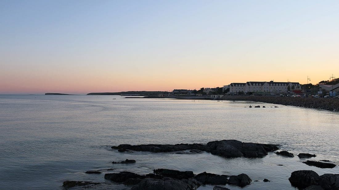
    Salthill and Galway Bay, Galway (506271)
    Lynch's Castle · Robert Linsdell from St. Andrews, Canada
  3. Stop 2 470 m · 8 m elev
    Stop 2: St Nicholas' Collegiate Church
    A medieval church still in use, just off the main street. Check opening times if you'd like to look inside.
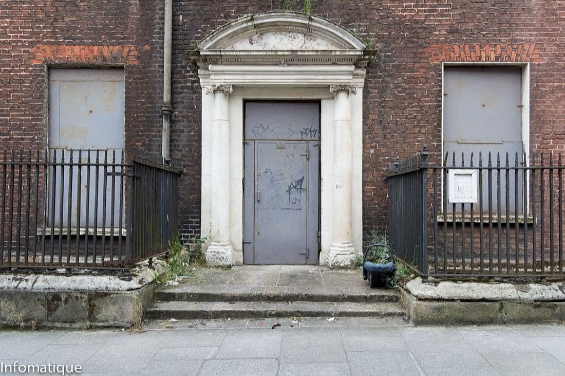
    Salthill and Galway Bay, Galway (506272)
    St Nicholas' Collegiate Church · Robert Linsdell from St. Andrews, Canada
  4. Stop 3 710 m · 7 m elev
    Stop 3: Spanish Arch
    Part of the old city walls beside the river, and a favourite place to sit by the water.
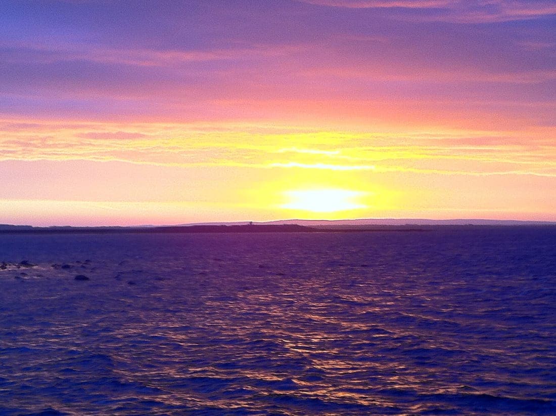
    Sunrise over Clare from Salthill, Galway
    Spanish Arch · Tom Murphy
  5. Finish 950 m · 5 m elev
    Finish: Galway City Museum
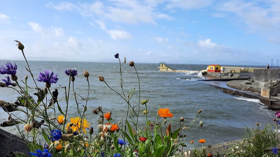
    Blackrock Diving Tower with wildflowers Salthill Galway
    Galway City Museum · Ciara Ní Riain

Tips

  • Shop Street and Quay Street are busiest on summer afternoons and weekends; mornings are calmer.
  • Street performers are part of Galway's character, so allow time to stop and listen.
  • Check the museum's opening times before you go.

Times and distances come from Google Maps and depend on the exact path you take. Always check opening hours and local conditions before you go. More ready-made routes.