Chega ao teu destino passando pelas melhores paragens pelo caminho.

Caminha, pedala ou conduz passando pelos parques, atrações e locais para comer mais bem avaliados. Grátis e sem registo.

Diz para onde vais e escolhe parques, atrações ou gastronomia. Recebes um percurso a pé, de bicicleta ou de carro pelos locais mais bem avaliados pelo caminho, com a previsão do tempo para a tua viagem, pronto a abrir no Google Maps. Grátis e sem registo.

Planeia o teu percurso

Começa com um toque ou escreve dois locais.

Boa altura

14:00 · 15°C · seco

ou escolhe a tua viagem

Qual é o estilo?
Como vais até lá?
As minhas paragens e filtros
Detour tolerance
Tipos de locais incluídos
Guardado neste dispositivo para os teus próximos percursos.
  1. Partida · Covent Garden
  2. Paragem 1 · Somerset House
  3. Paragem 2 · St Paul's Cathedral
  4. Paragem 3 · The Monument
  5. Chegada · Tower of London

Todas as paragens têm 4,5★ ou mais, além da probabilidade de chuva e da melhor hora para sair. Experimenta este percurso →

Galway, Irlanda

Walking route · 2 stops

River Corrib walk: Eyre Square to the cathedral and the university

Walked by Alberto before publishing · route facts measured

The River Corrib is short but powerful, rushing from Lough Corrib to the sea right through the city. This walk crosses it at the Salmon Weir Bridge, visits Galway Cathedral and finishes at the old stone quadrangle of the University of Galway.

At a glance

Crowds
Low
Footwear
Trainers

* Alberto's rating from doing the route.

Loading the route…

Measured route facts

Distance
1.4 km
Climb
11 m up · 9 m down
Away from traffic
26% of the way
Buggy & wheelchair
Step-free, paved
Benches on the way
15
Public toilets nearby
4
Playgrounds nearby
2
Drinking water
None mapped
Perfil de altitude Transferir GPX
Perfil de altitude Elevation profile: from 13 m to 14 m, highest point 16 m, 11 m of climbing over 1.4 km 25 m5 m 0 m680 m1.4 km

Measured by Joyride AI from OpenStreetMap data on (benches within about 30 m of the route; toilets and playgrounds within about 80 m; elevation from Open-Meteo). Map data © OpenStreetMap contributors.

The route, stop by stop

  1. Start 0 m · 13 m elev
    Start: Eyre Square
    Eyre Square, Galway
    Eyre Square · Gareth James
  2. Stop 1 450 m · 10 m elev
    Stop 1: Salmon Weir Bridge
    In season you can sometimes see salmon waiting below the weir on their way upriver.
    River Cong
    Salmon Weir Bridge · N Chadwick
  3. Stop 2 910 m · 9 m elev
    Stop 2: Galway Cathedral
    The large stone cathedral by the river, completed in the 1960s. Visitors are usually welcome outside service times.
    Salthill and Galway Bay, Galway (506271)
    Galway Cathedral · Robert Linsdell from St. Andrews, Canada
  4. Finish 1.4 km · 14 m elev
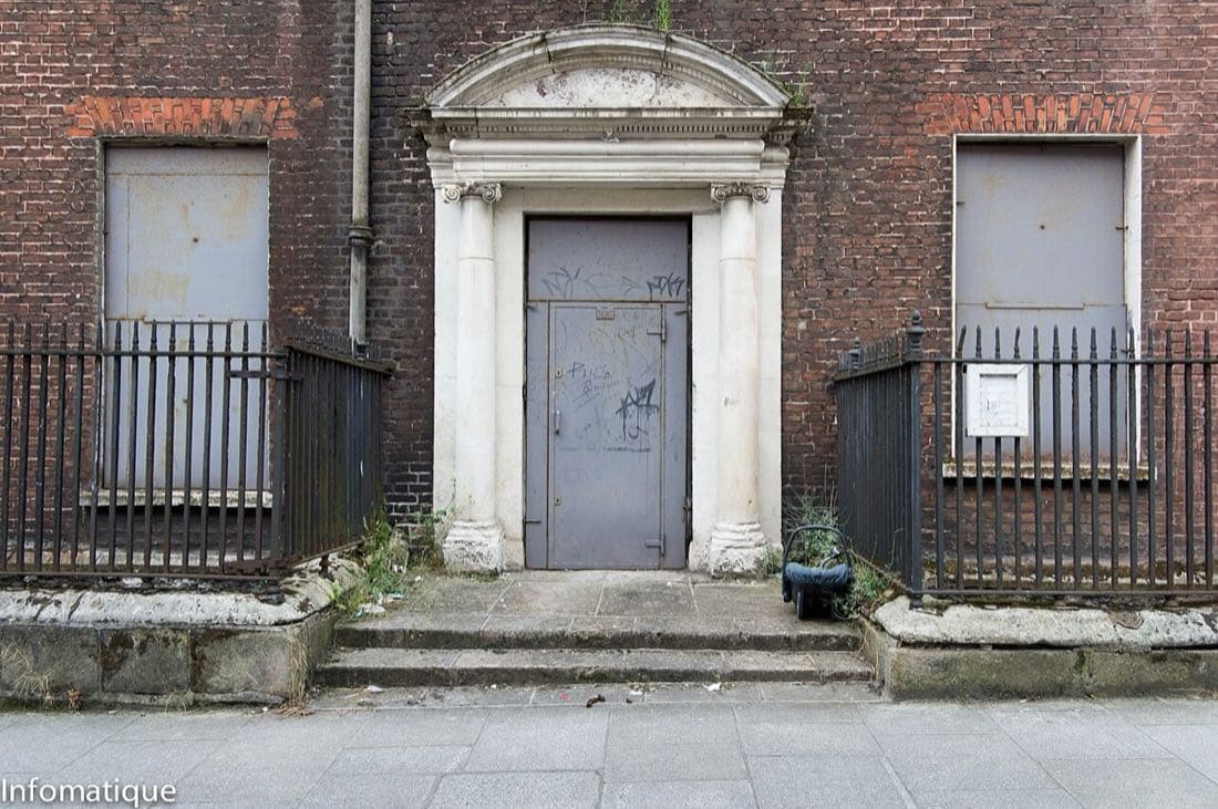
    Finish: University of Galway quadrangle
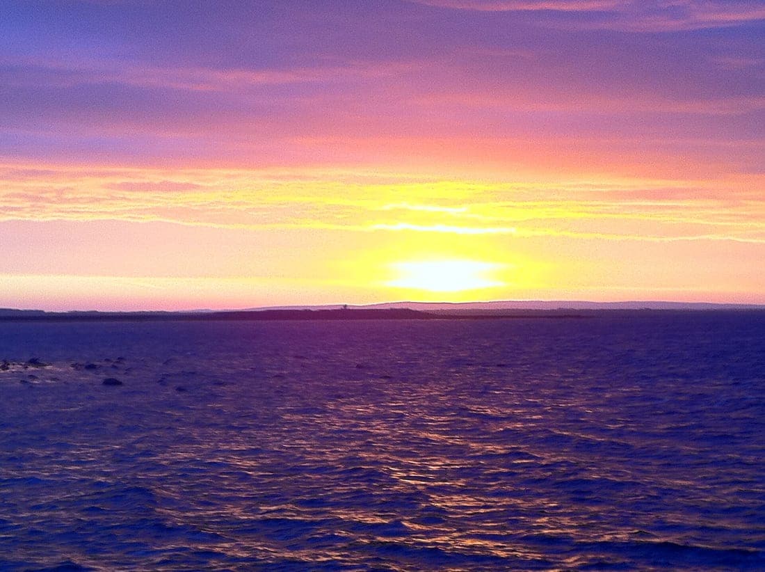
    Sunrise over Clare from Salthill, Galway
    University of Galway quadrangle · Tom Murphy

Tips

  • Respect services at the cathedral and check visiting times before you go.
  • The riverside paths near the university are pleasant for a longer, greener return.
  • Combine it with our medieval city walk for a full morning.

Times and distances come from Google Maps and depend on the exact path you take. Always check opening hours and local conditions before you go. More ready-made routes.