Get there via the best stops on the way.

Walk, cycle or drive past top-rated parks, sights and food. Free, no sign-up.

Say where you're going and pick parks, sights or food. You get a walking, cycling or driving route through the best-rated places on the way, with the weather for your trip, ready to open in Google Maps. Free, no sign-up.

Plan your journey

Start with one tap, or type two places.

Good time

14:00 · 15°C · dry

or choose your trip

What's the vibe?
How are you getting there?
My stops & filters
Detour tolerance
Included place types
Saved on this device for your next routes.
  1. Start · Covent Garden
  2. Stop 1 · Somerset House
  3. Stop 2 · St Paul's Cathedral
  4. Stop 3 · The Monument
  5. Finish · Tower of London

Every stop rated 4.5★ or higher, plus the rain chance and best time to go. Try this route →

Galway, Ireland

Walking route · 2 stops

A Galway food walk: Shop Street, the market and Quay Street

✓ Walked by Alberto before publishing · route facts measured

Galway is a great food city, and its best-known flavours are close together. This short walk puts our food detour tips into practice: browse Galway Market, wander down Quay Street and finish by the river at the Spanish Arch with something to eat outside.

At a glance

Detour time
Calculating…
Price
€ – €€
Vibe check
Grab-and-goMarket stallsSeafood sit-down

* Alberto's rating from doing the route. Detour time is travel time only, from Google Maps.

83 in Maps Open in Maps Customize Google Maps

Loading the route…

Measured route facts

Distance
790 m
Climb
2 m up · 13 m down
Away from traffic
87% of the way
Buggy & wheelchair
Step-free, paved
Benches on the way
14
Public toilets nearby
4
Playgrounds nearby
1
Drinking water
None mapped
Elevation profile Download GPX
Elevation profile Elevation profile: from 13 m to 2 m, highest point 16 m, 2 m of climbing over 790 m 20 m0 m 0 m400 m790 m

Measured by Joyride AI from OpenStreetMap data on (benches within about 30 m of the route; toilets and playgrounds within about 80 m; elevation from Open-Meteo). Map data © OpenStreetMap contributors.

The route, stop by stop

  1. Start 0 m · 13 m elev
    Start: Eyre Square
    Eyre Square, Galway
    Eyre Square · Gareth James
  2. Stop 1 270 m · 13 m elev
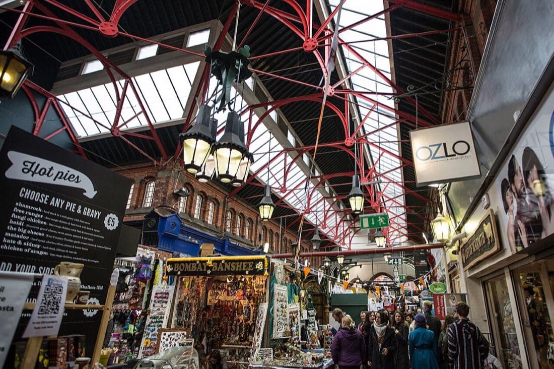
    Stop 1: Galway Market
    A street market beside St Nicholas' Church with food stalls, baked goods and local produce. It's busiest on Saturdays; check which days it runs before you go.
    St. George's Arcade Dublin 2018
    Galway Market · Antony-22
  3. Stop 2 530 m · 8 m elev
    Stop 2: Quay Street
    A colourful pedestrian street lined with restaurants, pubs and seafood places.
    Salthill and Galway Bay, Galway (506271)
    Quay Street · Robert Linsdell from St. Andrews, Canada
  4. Finish 790 m · 2 m elev
    Finish: Spanish Arch
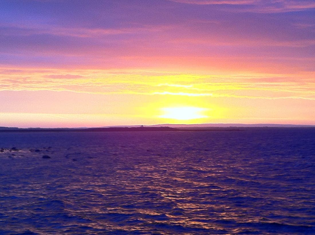
    Sunrise over Clare from Salthill, Galway
    Spanish Arch · Tom Murphy

Tips

  • The market is at its liveliest on Saturday mornings; arrive early for the best choice.
  • In September the city hosts the Galway International Oyster and Seafood Festival.
  • Quay Street is pedestrianised and crowded at weekends, so it's slower but more fun.

Reference & tools:

A Galway food walk: Shop Street, the market and Quay Street · FAQ

How long is the A Galway food walk: Shop Street, the market and Quay Street and what are the main stops?

A Galway food walk: Shop Street, the market and Quay Street covers about 790 m (2 m climb) in Galway with 4 stops in order: Eyre Square → Galway Market → Quay Street → Spanish Arch.

Can I open A Galway food walk: Shop Street, the market and Quay Street in Joyride AI Maps or download a GPX file?

Yes — tap "Open in Maps now" to load all 4 stops into Joyride AI Maps with live turn-by-turn navigation, or download the verified GPX track (route-galway-market-food-walk.gpx) for Garmin, Komoot, Strava or Apple Watch.

Times and distances come from Google Maps and depend on the exact path you take. Always check opening hours and local conditions before you go. More ready-made routes.